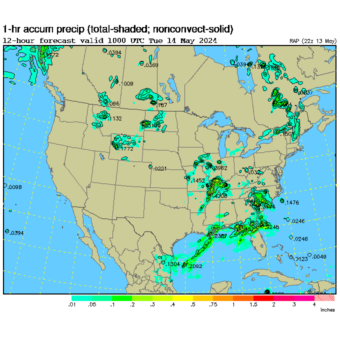
... and more

US Hourly Analysis

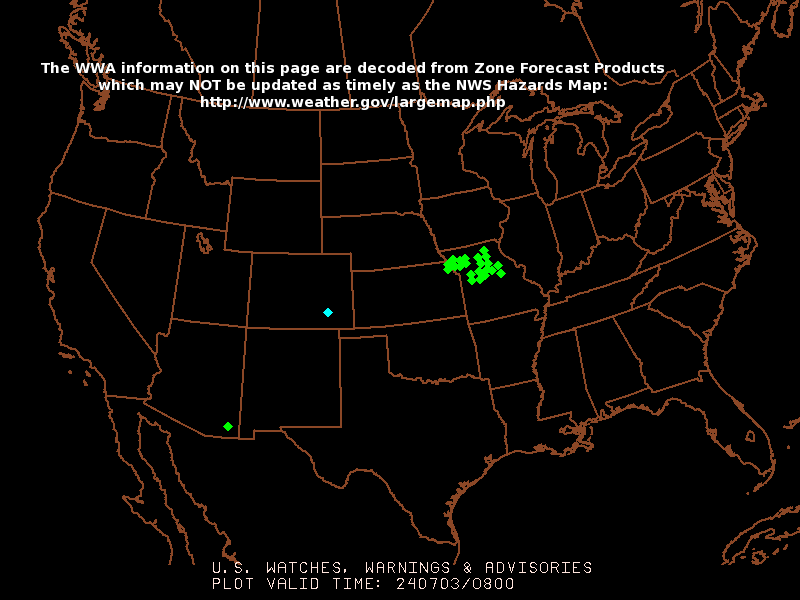 Latest Watches & Warnings-- Click Map to Enlarge | ||||||||||||||||
Lifted Index (Java Loop) Image Lightning
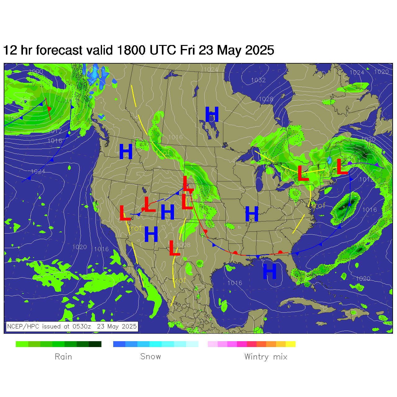
HPC Winter Low Pressure Forecast Tracks 
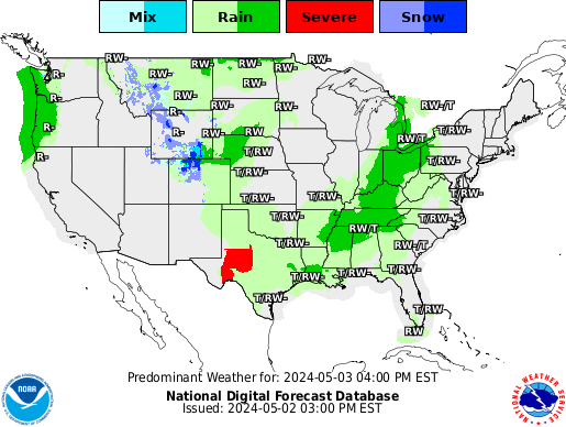
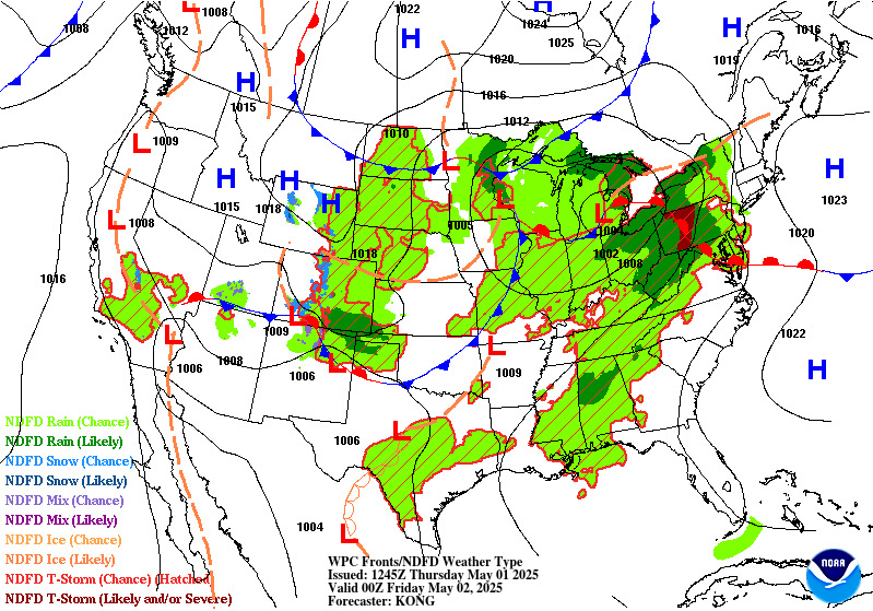
Jetstream: 300MB Today 24Hr 48Hr 3-Day Dewpoints IWIN Map General Severe Weather Risk Precip: Heavy Precip Forecast HPC QPF Day 2 ETA 24Hr NGM 24Hr 30, 90-Day Temp/Precip Outlook NWS 3-10 Day Weather Threat (experimental) 8-14 Day Forecast: Temperature Precipitation 48-Hr Forecast IR Loop (Active Movie) North Hemisphere Model Loop NCEP Ensemble Forecast Products & Loop
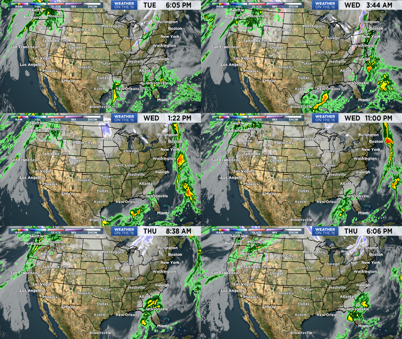
 
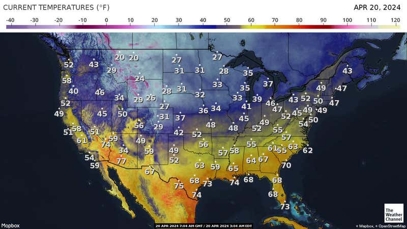 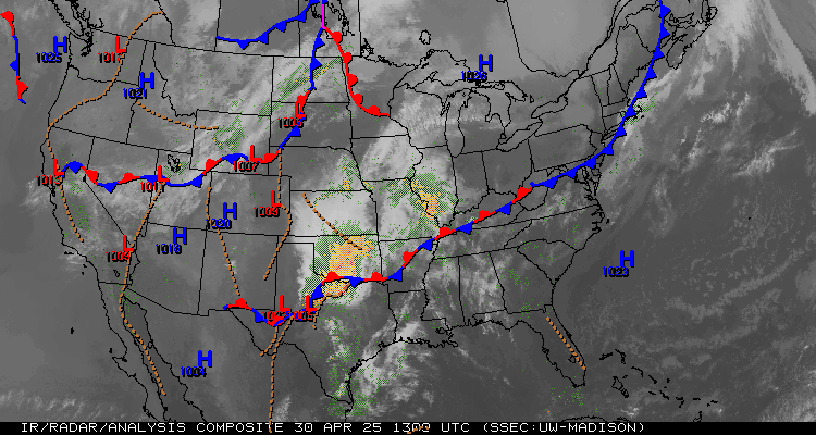 | ||||||||||||||||
Alternate Links for Current U.S. Temps:
#1 North America


Last Week's U.S. Precip Totals
Alternate Radar:
Current NEXRAD
U.S. Hourly:
Precip
Cloud Cover
Temps
Snow Cover
Wind/Pressure Analysis
Alt Site
Getting Loopy:
Pick a Loop:
RAMSDIS
US Javaloops: IR B&W
Visible
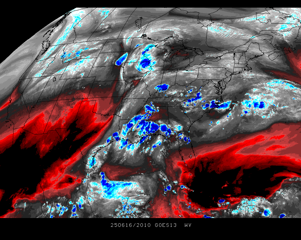
WV (Color)
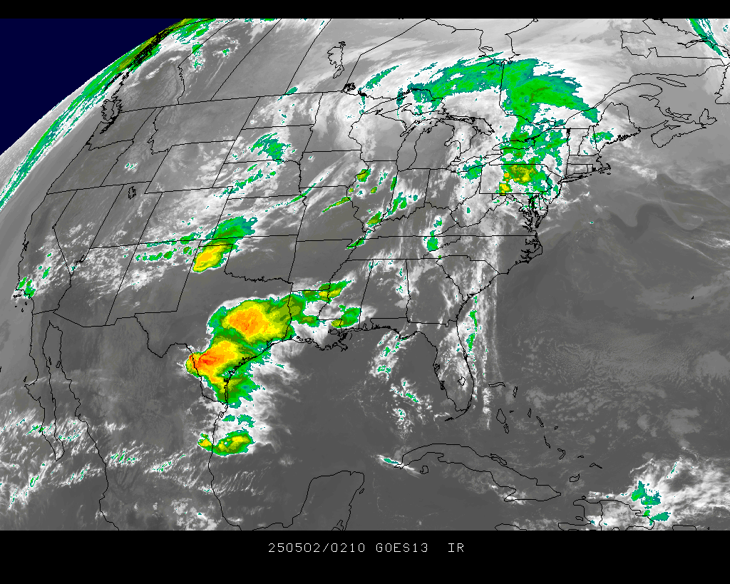
Latest US IR: Java Loop Image
Alt WV Java Loops: W. Atlantic E. Atlantic
And still more Loops: W. Hemisphere WV Loop US East WV
US West WV
IR Loop w/Surface Overlay


|
(black rectangle from dark-to-dawn for visible images) 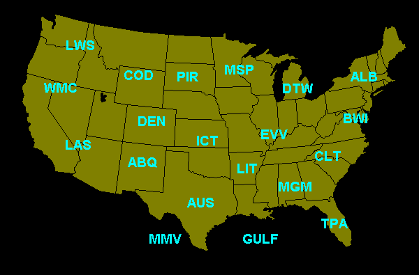
|
Send any comments to the [SkyGuy]

